

Oxford boundary markers: Marston Road (1600s)
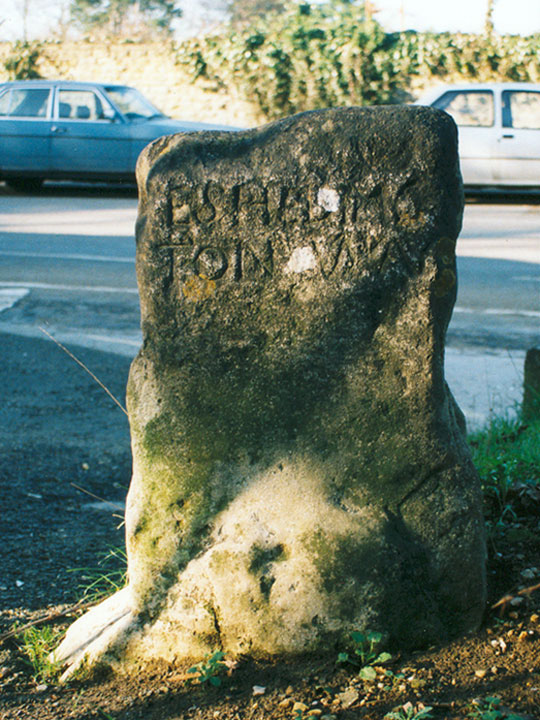
… [? H E R E E N D]
E S H E D I N G
T O N WAY
This highway stone stands at the
foot of Cuckoo Lane, where
Headington meets the Marston Road
This stone is believed to have been set up in the seventeenth century. This marked the westernmost boundary of Headington until 1881.
The inscription faces Headington, as the stone was presumably put up by that parish.
Grade II listed:
List Entry No
1046587