

Oxford boundary markers: Railway (+ a Canal Lock Distance marker)
|
|
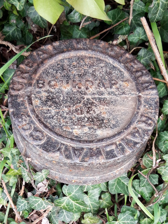

The above two Great Western Railway boundary markers are on the towpath of the River Thames near the humped footbridge at the end of Abbey Road.
The one shown below, with the railway line fenced off in the background, is at Wolvercote Lakes.
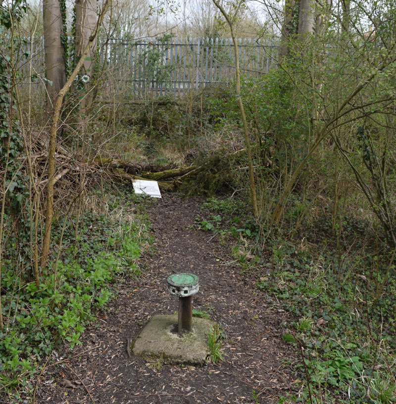
The boundary post below is on the Oxford Canal, near the railway at Wolvercote, and was kindly supplied by Mr Red & the Milestone Society
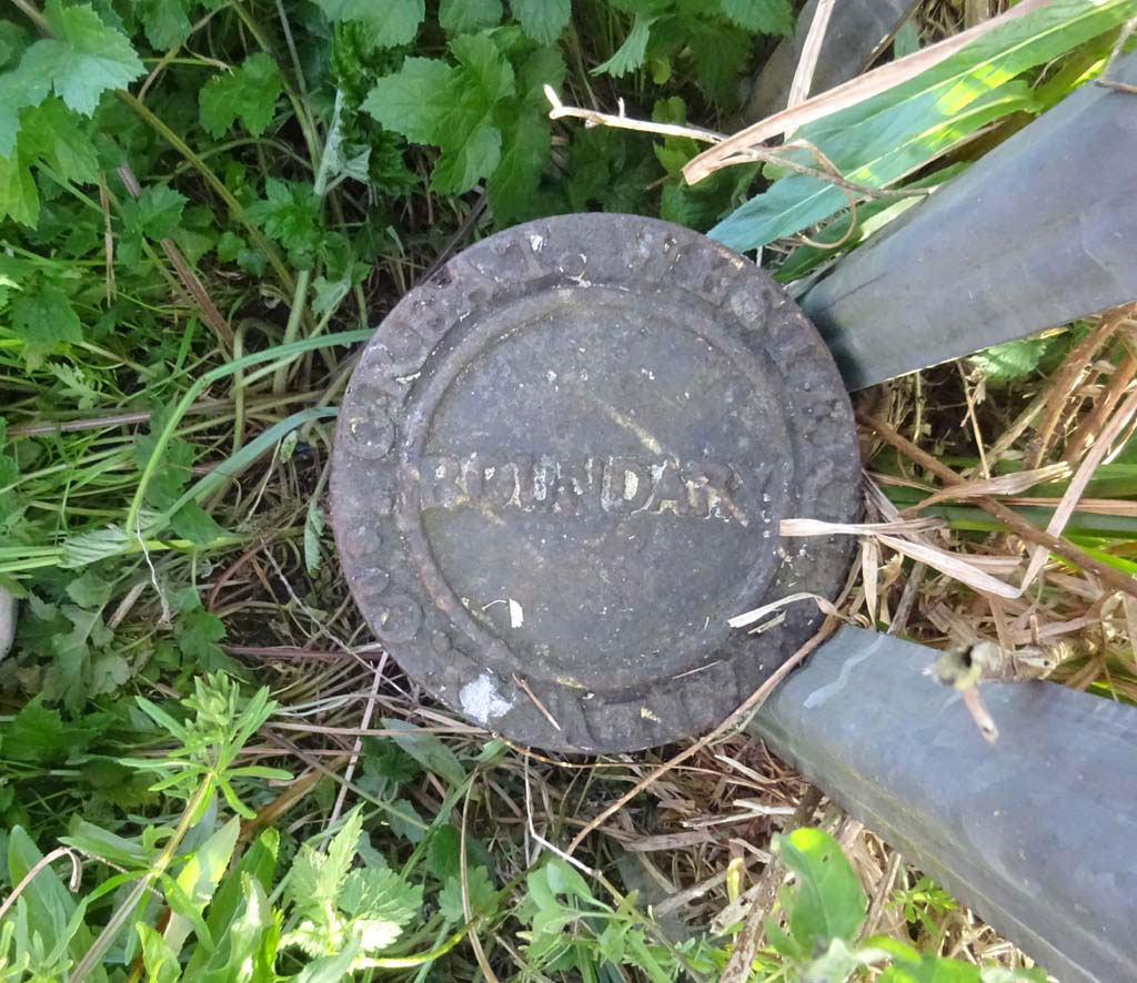
These round plaques with the word BOUNDARY and the date in the centre, and the words GREAT WESTERN RAILWAY COS around the edge were put up by the GWR Railway. They mounted them on a short length of old broad-gauge track set into the ground.
The GWR was extended from Basingstoke to Birmingham via Oxford in 1852, and was built with mixed gauge. On 1 April 1869 the broad gauge was taken out of use between Oxford and Wolverhampton and between Reading to Basingstoke. Broad gauge track ceased to be used altogether in 1892.
Oxfordshire Local History Association Bulletin
- Vol. 6, No. 2 (Winter 1999/2000): Robert Sephton: “How the railways came to Oxford, Part 1:
“City fathers, farmers, and Folly Bridge” - Vol. 6, No. 3 (Summer 2000): Robert Sephton: “How the railways came to Oxford, Part 2:
“The University opposes: the defeat of the second Oxford & Great Western Union Railway Bill, 1838” - Vol. 6, No. 4 (Winter 2000/1): Robert Sephton: “How the railways came to Oxford, Part 3:
“Third time lucky: the GWR gets it act at last” - Vol. 9, No. 4 (Winter 2013/14): Liz Woolley, “How the railway changed Oxford” and corrections
in Vol. 10, No. 1 (Winter 2015/16): “Oxford's railways revisited”

Lock Distance Marker
This metal pillar marked DIS (right) is near the railway at Wolvercote, and is a lock distance marker.
With thanks to Mr Red & the Milestone Society, who explained that the primary purpose of a lock distance marker was to define the point at which a boat could claim the right to be the first to enter the lock ahead. Some boats were faster (e.g. flyboats or packets, probably motorised) and would be allowed to overtake or maybe were coming the other way. They paid more tolls so had priority, but not if a slower boat was within those markers. With two boat operators, one would run on ahead to prepare the lock for their direction, and that is when the priority applied.