Oxford boundary markers: Cuckoo Lane south side (?1837)

Illegible, but may say
C. J. S. / MAYOR / 1837
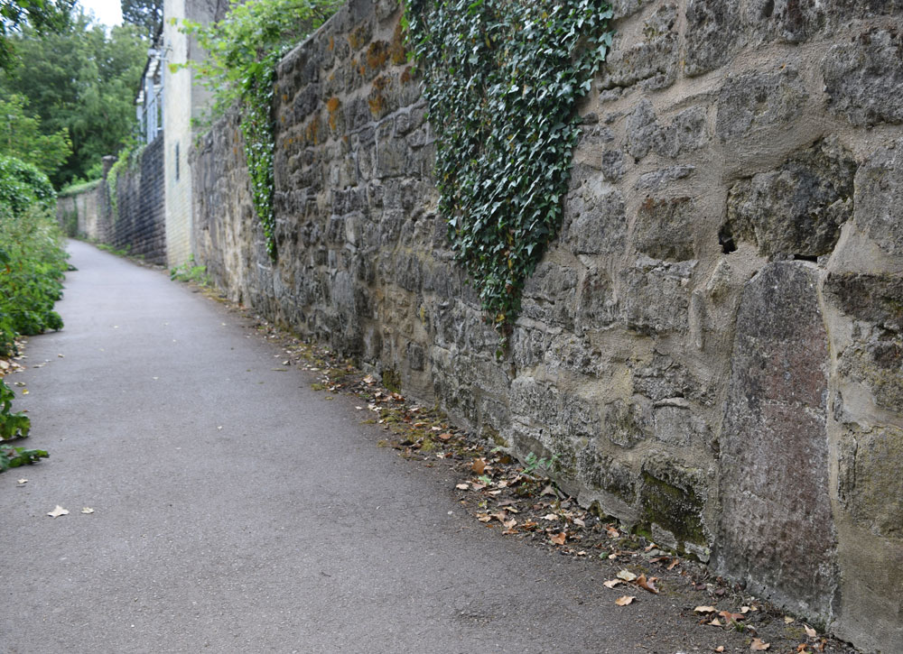
This stone stands on the south side of Cuckoo Lane, set in the wall of Headington Hill Hall (see exact position below).
It marks the new parliamentary boundary of Oxford in 1832 (map), which survived until 1886.
Not a listed structure
This may be the boundary stone described thus by John Gilbert in 1886:
“Pursuing the well-known path from the Marston-road to Joe Pullen's Tree, we find built in the wall on the right hand of the path at the back of the stables of Headington Hill Hall boundary stone No. 2”, which he states in a footnote was inscribed “C.J.S., Mayor, 1837”.
If this is the same stone, it would mean that it was set up during the 1836/7 mayoralty of Charles James Sadler, probably not long before he beat the bounds in August/September 1837. It would have marked the municipal boundary of Oxford prior to the changes of 1886.
The stone is shown in context on the far right of the photograph below
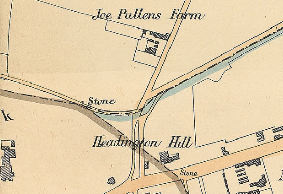
Right: This extract from a map of 1883 produced for the Local Board shows the boundary of Oxford marked with a sepia line and the stones that marked it. Headington Hill Hall is on the left. The only boundary stone shown in this area is further up the hill than the one above, near the corner of Pullen's Lane, and it may have been replaced by this 1901 stone. (The blue line shows the parliamentary boundary of Oxford, which in the Headington area differed from the municipal boundary)
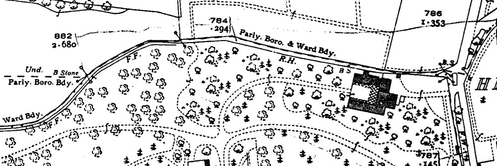
Below: This extract from the 1939 map shows two boundary stones marked “B S” on Cuckoo Lane: the one immediately to the west of Headington Hill Hall appears to be the boundary stone set in the wall of the Hall shown above, and the other is the stone that no longer exists shown on the earlier map on the right